
An ITS4US Project
Active transportation · accessibility · data exchange
Connected transportation data for accessible, active mobility.
TDEI helps agencies, communities and mobility developers understand pedestrian infrastructure and its connections to transit, cycling and other modes. Collect, validate, exchange and maintain data that shows how people move, where barriers remain and what improvements could change their access.
Sidewalks · crossings · curb ramps · transit access · network connectivity · mobility profiles

OpenSidewalks and multimodal connections make route feasibility analyzable
Why this work exists
Developed through the U.S. DOT Complete Trip – ITS4US Deployment Program.
TDEI grew from a University of Washington project selected for federal ITS4US deployment support to help public and private organizations collect, share, manage and use standardized transportation data. The goal is more independent, informed travel for people with disabilities and other travelers whose needs are not served by conventional network datasets.
Read the U.S. DOT program announcementWashington statewide deployment
OS-CONNECT builds a common public pedestrian-network baseline.
Supported through Washington State legislative funding, OS-CONNECT extends TDEI’s tools into a statewide, connected inventory so local jurisdictions can begin planning with consistent data and add the detail they need over time.
Explore OS-CONNECTUsing the data in practice
What transportation practitioners are telling us.
Feedback from agencies and their consultants helps us assess how shared network data complements existing inventories and fieldwork.
“The OS-CONNECT data did serve as a good QC reference dataset when we were working on digitizing updates.”
“It’s an invaluable resource to have as a reference to identify assets missing in existing inventories”
[Additional agency or community testimonial]
Planning questions TDEI can help explore
Who can get where in our multimodal network?
Connected transportation data can support questions about network access, environmental barriers, and the effects of proposed improvements. Different people, devices and travel preferences may reveal different answers in the same place.
- Where are the physical and network barriers?
- Which destinations can different travelers reach?
- What changes under a construction or investment scenario?
- How can agencies prioritize improvements?

Three questions. Three sensible entry points.
Choose based on your immediate responsibility. You can reach the full technical detail from every path.
What can this place support?
For planners, transit teams and community members: start with a jurisdiction, an access question, or a program need.
Open detailed pageWhat data exists, and can we trust it?
For GIS staff, data stewards and researchers: inspect the datasets, schema, quality evidence, source dates and limits.
Open detailed pageCan we build, buy or distribute with it?
For contractors and developers: see deliverables, data formats, real documentation, integration constraints and licensing pathways.
Open detailed pageThe whole system, from source to service.
A concise picture of how TDEI works. Each stage is linked to specific documentation; nothing ends at the diagram.

Represent it
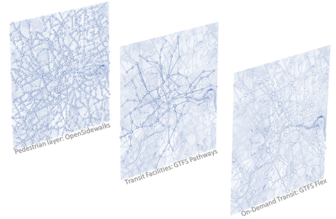
OpenSidewalks is an explicit graph of nodes, edges and zones. GTFS Pathways and GTFS Flex address related parts of multimodal journeys.
Open detailed pageProve it
Compare APE annotated data, PathwayBench reference graphs, schema validation, quality reports and dataset provenance.
Open detailed pageUse it
Launch AccessMap, Walksheds or the data viewers, or follow projects from stakeholder problem to delivery.
Open detailed pageEvidence and projects should be visible, not buried.
Every project has a stakeholder problem, method, documented results, access route, and unresolved evidence.
Washington OS-CONNECT
Statewide connected baseline, QA/QC, source-vintage and ongoing local stewardship.
Open detailed pageKing County Metro: Health Through Housing
Resident engagement, field verification, modeled walksheds and pedestrian improvement identification.
Open detailed pageInternational inclusive-sidewalk pilots
São Paulo, Quito, Providencia and Valparaíso provide mapping and disability-led participation experiences.
Open detailed pageExplore a real tool now.
These are existing services and documented resources, not mocked-up integrations.
OS-CONNECT Viewer
Browse Washington jurisdiction datasets and quality summaries without signing in.
Open detailed pageAccessMap
Personalized pedestrian routes based on actual network and mobility preferences.
Open detailed pageWalksheds
Analyze reachable destinations, mobility profiles and infrastructure scenarios for planning.
Open detailed pageFor people who need the original technical depth.
All prior TDEI content is retained as direct links or mapped to an updated explanatory page.
| I need to… | Read this on the new site | Continue to the original or technical source |
|---|---|---|
| Understand the network specification | OpenSidewalks explained | Schema on GitHub · TCAT wiki |
| Train or evaluate image-to-network models | APE, sample data and validation | APE paper · PathwayBench |
| Choose a case study | Complete projects directory | Original TDEI resource archive |
| Retrieve released data | Dataset access routes | TDEI Portal |
| Use apps and analyses | Consuming applications | Walksheds manual · AccessMap |


“Improving travel experiences means providing data and choice—giving people access to evaluate their options, enabling developers seamless access to mobility data, and allowing agencies to use their preferred tools while ensuring standardized data output. The TDEI project supports this ecosystem.”– Anat Caspi, Director, Taskar Center for Accessible Technology
TDEI Aims and Approach
Everyone needs data they can trust. Our project addresses lack of easy exchange in transportation data and travel information via a three-pronged approach:
- Enhance data standards to include information relevant to all travelers and transit stakeholders.
- Provide tools and data infrastructure reducing barriers for data stewards to collect, vet, maintain and use traveler-centric transportation data at scale.
- Demonstrate our work through pilot data collections with private and public partners, and demonstration projects that make use of our data.


Current focus on 3 International Data Specifications
Engage with our data governance groups to update and refine standards as we objectively address open exchange in transportation data.