
Research dataset · APE
The APE dataset, sample imagery, annotations, and validation references.
APE (Annotations for Pedestrian Environment) was created to train and evaluate automated pedestrian-path understanding. It is a research dataset, not a direct substitute for a current, routable OS-CONNECT release.

[IMAGE NEEDED: Annotated APE sample showing aerial image, road raster and human-verified pedestrian feature mask; include research dataset citation. File: tdei-hero-ape.png]
What the researchers wanted to solve.
Pedestrian paths were missing or poorly connected in typical transportation maps. Aerial imagery and mapped street information were used to learn to identify sidewalks, crossings and corner bulbs.
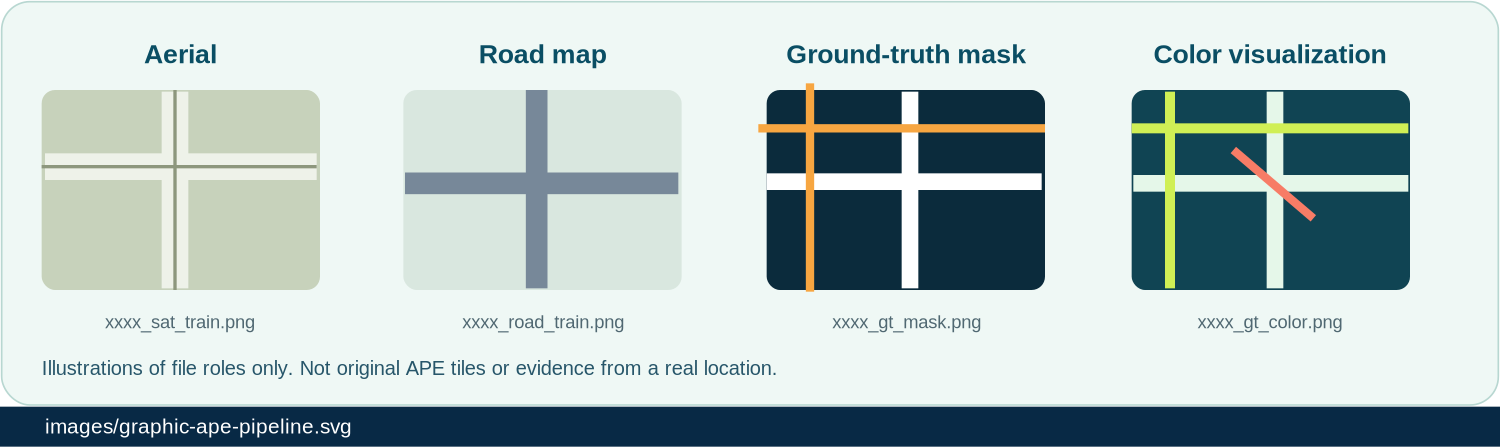
| Component | Example filename from original page | What it provides |
|---|---|---|
| Aerial imagery | xxxx_sat_train.png | Top-down input imagery. |
| Raster street map | xxxx_road_train.png | Aligned road-map representation. |
| Human-validated mask | xxxx_gt_mask.png | Segmentation label/reference for sidewalks, crossings, corner bulbs. |
| Color visualization | xxxx_gt_color.png | Human-readable rendering of annotation classes. |
Extent, example and benchmark
The existing page reports approximately 2,700 km² of selected areas across Los Angeles, Bellevue, Seattle, Quito, São Paulo, Santiago and Greater Valparaíso. Geographic coverage does not imply complete coverage of each city.
APE paper
Yuxiang Zhang, Nicholas-J Bolten, Sachin Mehta and Anat Caspi. Describes a multi-input segmentation workflow, human annotation issues, and connected-network inference.
Open detailed pageLos Angeles sample folder
Access the APE sample data: [CONFIRM: download permission and public folder link].
Open detailed pagePathwayBench
Graph-level resources for co-registered road and pedestrian pathways in GeoJSON, referenced by the original APE page.
Open detailed pageUsing APE for research and evaluation
Training masks, ground-truth validation data, inferred graph outputs and current operational datasets answer different questions.
| Question | Use this | Check first |
|---|---|---|
| Can my model identify pedestrian features in images? | APE imagery and labeled masks. | Image and annotation rights, city splits, resolution, representation. |
| Can the model produce a connected routing network? | PathwayBench or evaluated network graphs. | Connectivity and error definitions beyond pixel overlap. |
| What are typical human annotation errors? | APE paper, Fig. 1 and Tables 1a–c. | Map disconnected sidewalk-to-crossing links and displaced curb nodes. |
| Can I deploy this map for trip planning today? | Current TDEI/OS-CONNECT network release. | Schema, QA/QC, vintage, destination context and rights. |
[CONFIRM: APE dataset public file list, validation split and download permissions.]